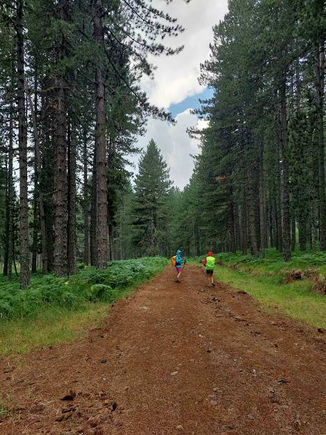
6-day hiking in the Pindos mountain range
Activity Description
6-day hike in the Pindos mountain range!
Metsovo / Vovousa / Distrato / Samarina / Kerasovo / Pades / Konitsa ....
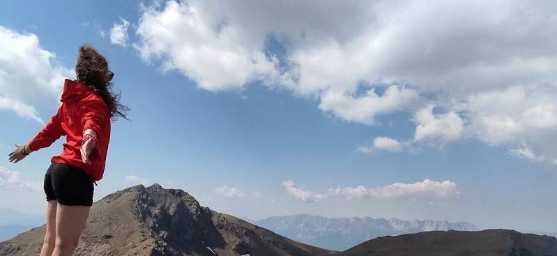
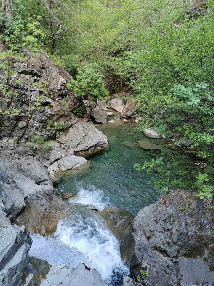
A dream hiking excursion beyond the trivial, with incredible changes in landscapes and images.
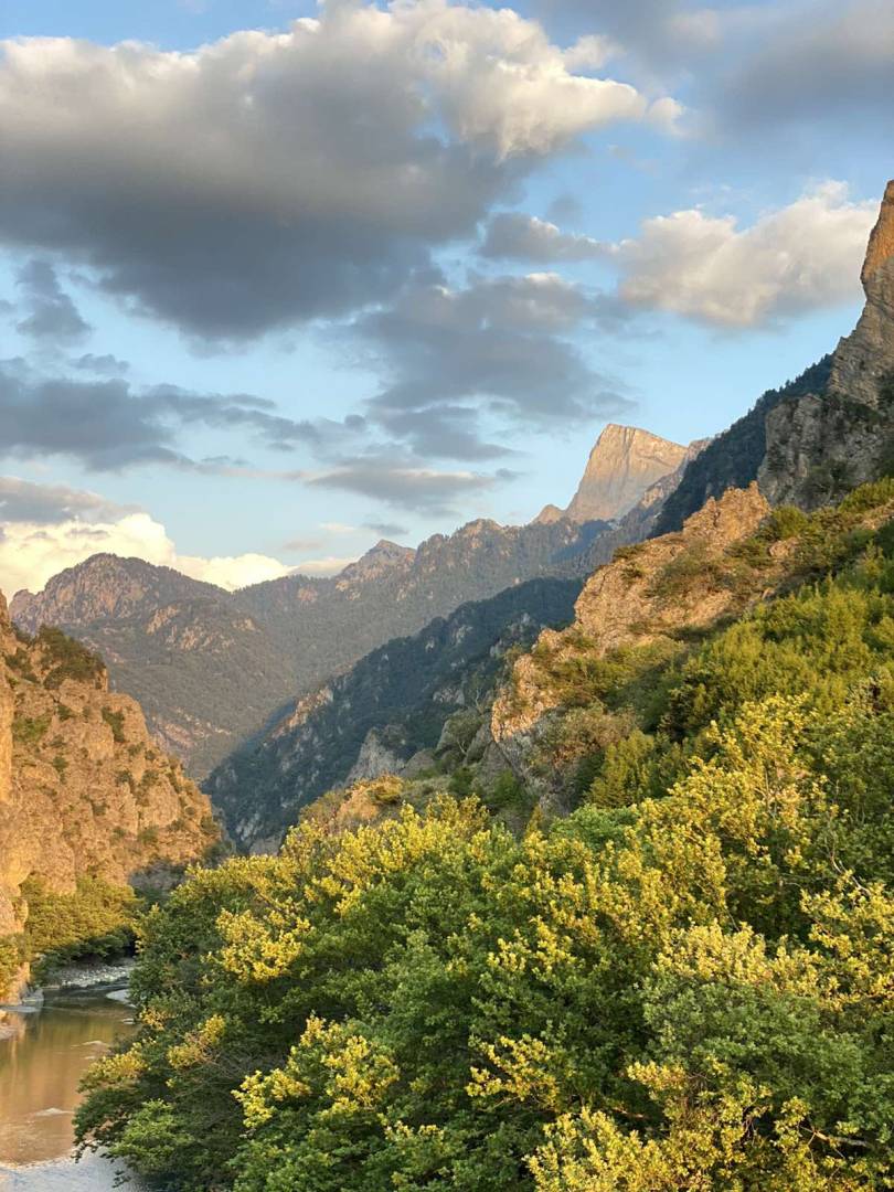
Crossing the mountain range of Pindos, we will find ourselves in the Alpine lakes of Flegga, we will pass Arkoudorema, we will rest in the fairytale shelter of Vovousa, we will reach Distrato by paths with beautiful passes, we will climb to Samarina, the highest village in Greece, we will walk between the Robola, we will go to Drakolimni with its blue waters, in Pades we will drink our tsipouro, we will enjoy the view from the Limeria ton Klefton and we will reach the beautiful Konitsa. The places we will pass, the images and landscapes we will see, and the experiences we will live, unfortunately, or fortunately, cannot be captured in a thousand paragraphs.
So grab your good mood, and your bag and we're off for a unique six-day adventure in Northern Pindos.
North Pindos: The largest protected area in Greece.
- The National Park of North Pindos was founded in 2005. The creation of the National Park of North Pindos by unifying these areas has as its main purpose the preservation, protection, and promotion of the natural and cultural heritage of the region.
- The special ecological value of the North Pindos National Park, which is recognized at a national, European, and global level, results from the fact that its boundaries include:
- 2 National Forests
- the National Forest of Pindos (Valia Kalda) and the National Forest of Vikos-Aoos
- 11 areas belonging to the Pan-European Network of Protected Areas: "NATURE 2000" (NATURA 2000), an area designated as a Biogenetic Reserve in the core of Valia Kalda
- 11 Wildlife Refuges and an important part of the Vikos-Aoos Geopark which is a member of the European and World Network of UNESCO Geoparks.
The natural wealth of the National Park concerns the presence of many endemic, rare, and protected species of plants and endangered animals, which include almost all the large mammals of Greece, while the great diversity of species is due to the huge variety of habitats of particular importance for the preservation of life.
The visitor to the National Park, in order to understand and interpret the concept of the protected area as well as to gain essential knowledge about the natural and cultural wealth it has, must start his tour of the area by visiting one of the five Information Centers of the National Park which they operate in Asprangelos, Vovousa and Mikro Papigo in Zagori, Metsovo and Mavranai in Grevena.
In the premises of the Centers, exhibits are presented and projections are made on the natural environment, the unique architecture, the history, and the folklore of the region. Their visitors are supplied with free printed material, informed, depending on their interests, about attractions, observation points, hiking routes, monuments, and in general about the activities they can develop in the National Park area during their stay in this.
Detailed program:
Meeting in Metsovo at 8.00! Short briefing and the adventure begins!
1st day Valia Calda:
Lake Metsovou - Mavrovounio shelter - Korifi Flegga - Flegga Lakes - Arkudorema - Vovousa.
- Distance 21km.
- Altitude 1200m.
- Difficulty level 4/5
We start from Lake Aoos following a forest road, after passing the Mavrovounio Captain Kladis shelter, at the border we reach the peak of Fleggas 2157.
Then we approach the alpine lakes of Fleggas and then descend to the core of the National Forest, Arkoudorema.
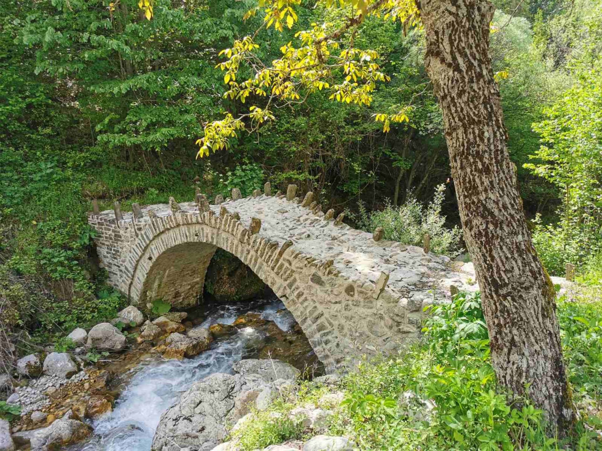
Following path E6 along the Arkoudorema and after crossing the river three times we reach the place of "Smixomata" where the river Aoos joins the Arkudorema. After crossing the river for the last time, we arrive at the shelter of Vovousa, which is also the final destination of the first day.
2nd day Vovousa – Distrato:
- Distance 18.5 km.
- Altitude 800m.
- Difficulty level 3/5
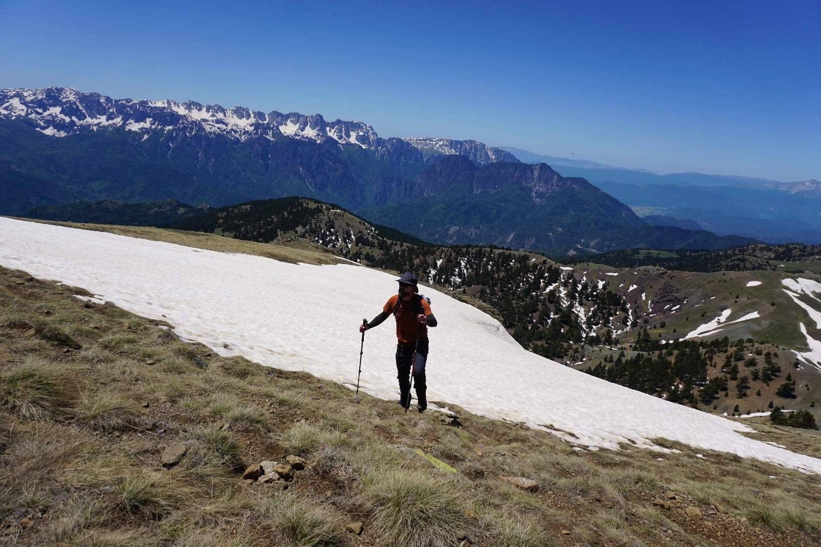
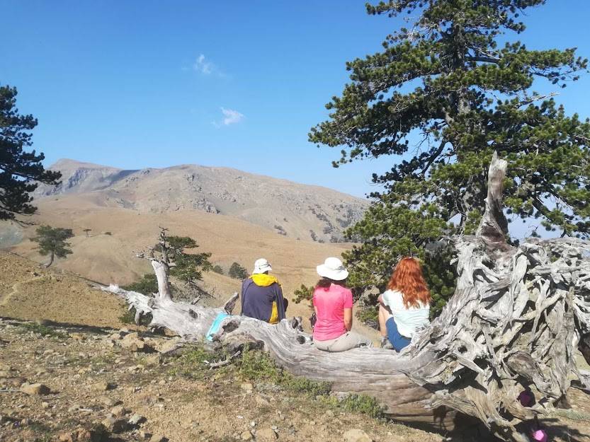
We start from the shelter and after passing through the village of Vovousa, we continue our course on a forest road for 3.5 km and enter a path. We move along the river Aoos which is on our left and after passing Valia Stathis, a beautiful stream with rich vegetation, we climb to the highest point of the route with a beautiful view from Smolikas, Tymfi, and Vasilitsa.
We descend to the village of Distrato.
3rd day Distrato – Samarina:
- Distance 15 km.
- Altitude 100m.
- Difficulty level 3/5
We start from Distrato and go up the road that leads to the ski center of Vasilitsa.
After one and a half kilometers we enter a beautiful uphill path.
To our right rises the Gomara mountain and in front of us the Smolika massif.
We move to the outskirts of Valia Kirna (Devil's Valley ) in a forest of incomparable beauty with large straight trees a place with great biodiversity in fauna and flora. It is one of the most isolated ecosystems in the country.
After crossing the Samariotiko stream and after 7-8 hours of walking, we reach the chapel of Metamorfosi and then the village of Samarina, which is the highest village in Greece.
4th day of Smolikas:
Samarina - Tsekouras - Bogdani - Skala - Vathylakos - Kerasovo.
- Distance 18 km.
- Altitude 1150m.
- Difficulty level 5/5
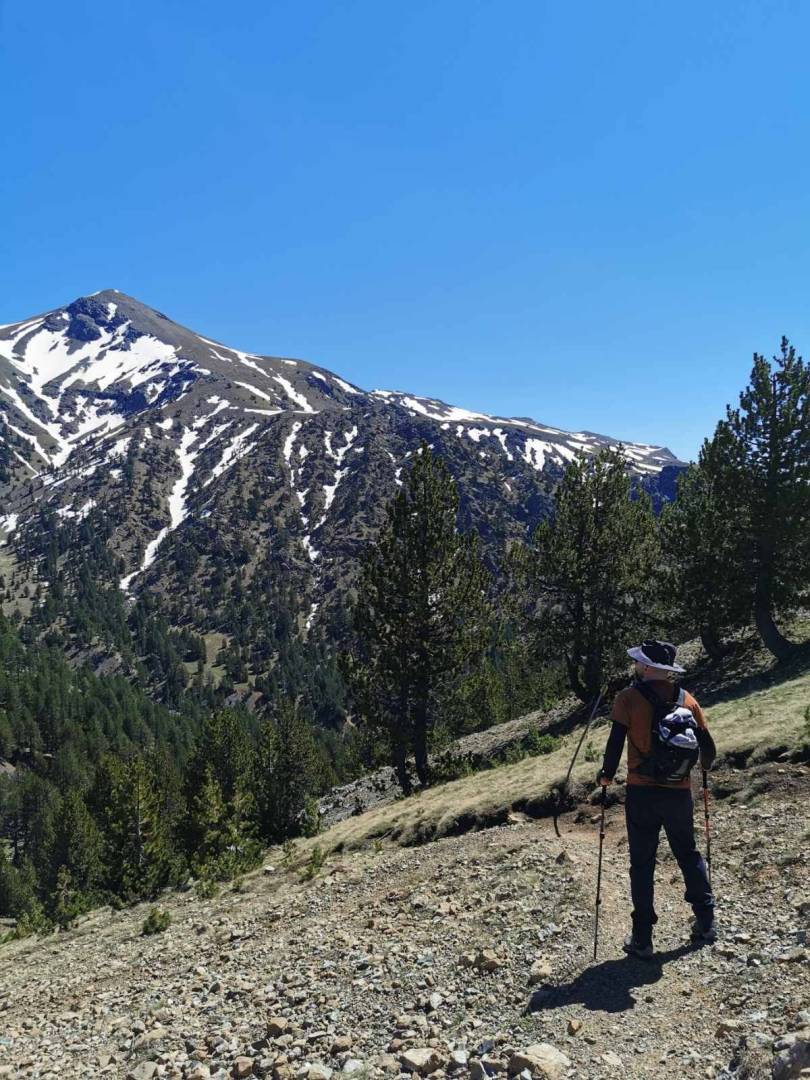
From the highest point of the village, a beautiful path starts in a forest with Robola, traversing uphill the slopes of Captain Tsekouras peak.
After reaching the saddle formed by the Bogdani peak we have the opportunity to see Valia Kirna spreading out to our left in all its glory.
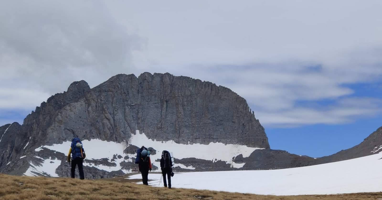
In the distance in front of us are the peaks of Mosia and Skala, which is also the highest point of our route.
Arriving at the top, the view is incredible of Tymfi, Peristeri, Vasilitsa, Olympos, Vermio, Grammos, and in front of us the highest peak Geros 2637 meters.
The ravine of Bathylakkos is one of the most beautiful and difficult parts of Smolikas.
Then we descend from the top, through a difficult path that leads us to the beginning of the deep pit. One of the most beautiful and secluded parts of the mountain. Together with the homonymous stream and after a laborious descent we reach the water mill of Agia Paraskevi where the asphalt connects the village with Fourka.
After 2.5 km. we reach the village where we spend the night.
5th day of Smolikas Geros 2637:
Agia Paraskevi (Kerasovo) - Drakolimni - Korifi - Pades.
- Distance 19,500km.
- Altitude 1670m.
- Difficulty level 5/5
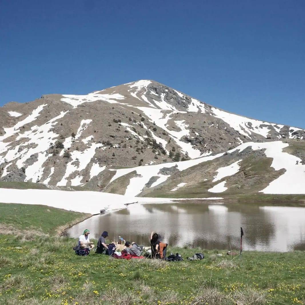
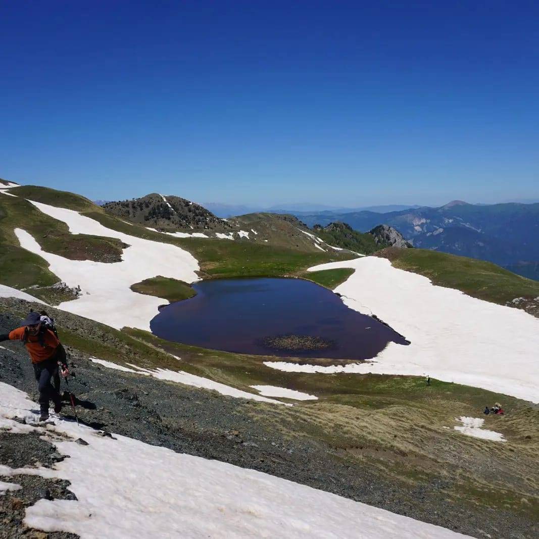
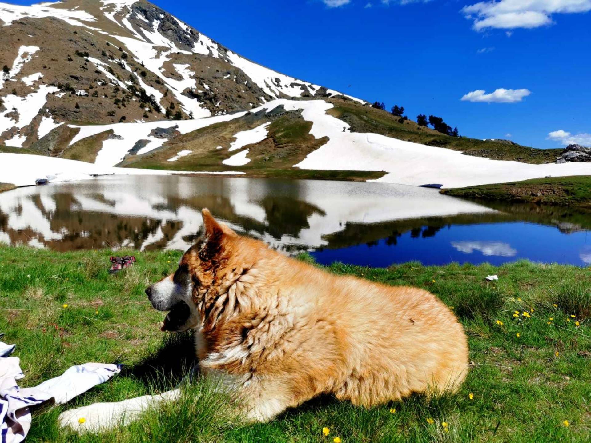
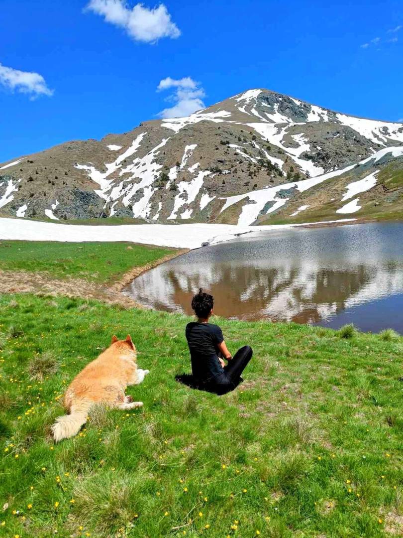
Beautiful climb to Drakolimni of Smolika, through a beautiful pine and beech forest.
The path, despite the altitude, moves smoothly through clearings and beautiful places to stop and view. For almost 3,5 hours, we move through the forest, and after half an hour in the alpine field, we reach Drakolimni.
Here we will stop and for those who want from our group, we will continue to the top (an hour and a half climb - 400m. altitude).
After we all meet again together we continue in an alpine field going downhill for 20 minutes where we again enter the forest zone. This trail intersects forest roads in several places. We will pass by the locations of Pande El Bilaniou Pande Exarchou and after three hours we will reach the village of Pades where we will spend the night.
6th day Vrysochori – Konitsa:
Vrysochori - Limeria Klefton - Siadi - Mygas - Stomio Monastery - Konitsa.
- Distance 20.5km.
- Descent
- Difficulty level 5/5
This is the most difficult but at the same time the most beautiful trekking route.
After being transferred in the morning from the village of Pades to the village of Vrysochori, we begin our journey.
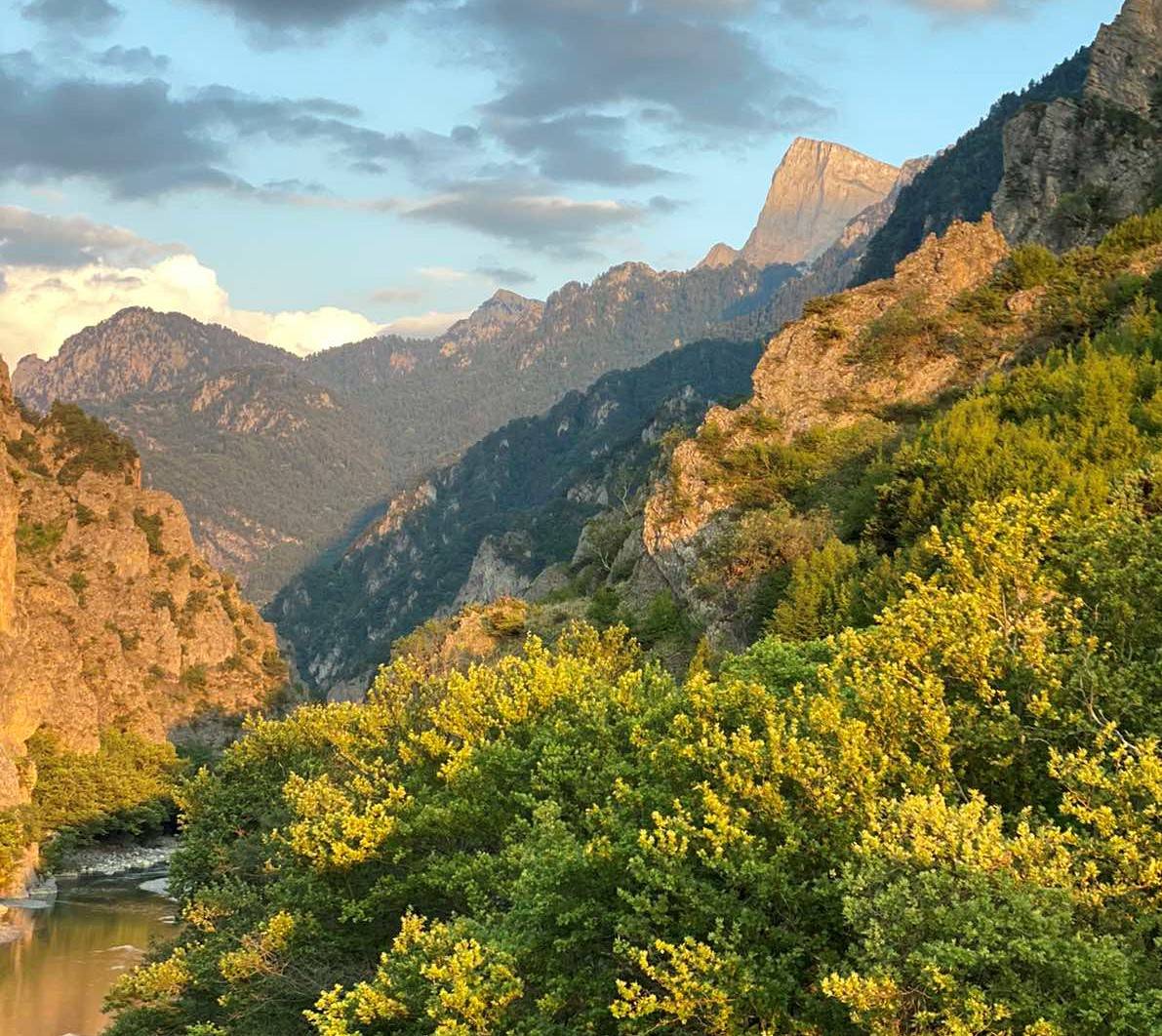
Through beautiful streams and lush vegetation, we move under the imposing peak of Tsuka Rosa, we pass by the famous Neraidovrysi. Then we climb to the lake of Avalos and then we approach the highest point of the route, the saddle (Limeria ton Klefton 1850m.).
From this point, we can have a global view of the entire North side of Tymfi. From here begins the descent that reaches Siadi tis Mygas, Kalogeriko, and Moni Stomio, and after four hours of strenuous descent, we approach our final destination Konitsa.
Participation fee: €500/person
Terms of participation:
- Participants must comply with the instructions of the organizers
- Organizers may modify the program due to weather conditions, the insufficient physical condition of participants, or any other objective or subjective risks that could endanger the safety of participants
- Participants will have to pay the amount in advance
- Participants must sign the relevant form accepting the terms of participation.
Read MoreRead Less
Included
Not included
Do nοt forget
Cancellation policy
- Cancellation 30 days or more prior to the agreed activity starting date. You are automatically reimbursed for the full activity price.
- Cancellation between 14 and 30 days prior to the agreed activity starting date. You are entitled to a 50% reimbursement.
- Cancellation 14 days or later are what we call last-minute cancellations. No reimbursements will be effected.
* If the activity is canceled by the activity provider (due to weather, non-completion of minimum entries, force majeure, etc.), the price of your activity, is refunded in full.
Unlimited Adrenaline Tips
- Many activities are based on the weather, so it is recommended that you contact the company before the activity.
- It is a good idea to be at the meeting point on time, before the scheduled start time.
- After your reservation it is enough to give your details to the cooperating company so that you can carry out your activity. However, it is recommended that you have the booking confirmed in digital or printed form.
- Read the benefits of the activity carefully to avoid possible extra charges from additional optional services.
- Read the cancellation policy carefully before booking.
Location
Meeting Point
Region: Metsobo
Address: Metsovo
Point of activity
Region: Tumfi, Ioannina